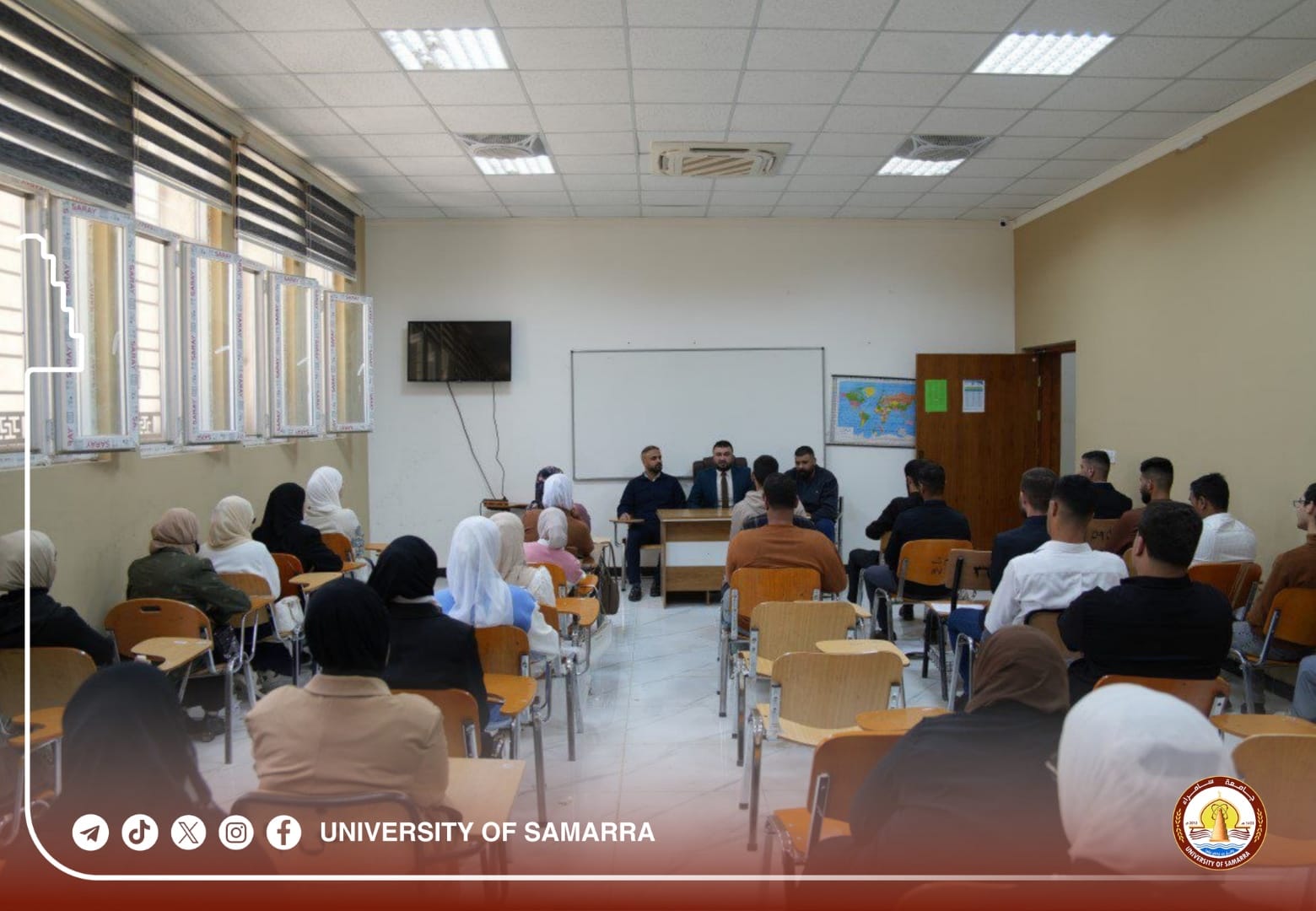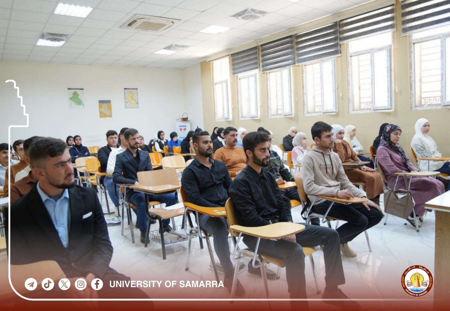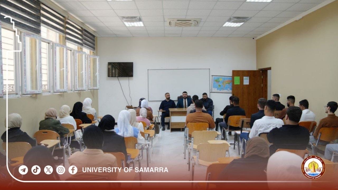
A seminar at the College of Education for Humanities discusses the role of open maps in achieving sustainability.
The College of Education for Humanities at Samarra University discussed “Open Maps and Their Role in Achieving Sustainable Development,” in a scientific seminar presented by a group of instructors from the Geography Department in the college.
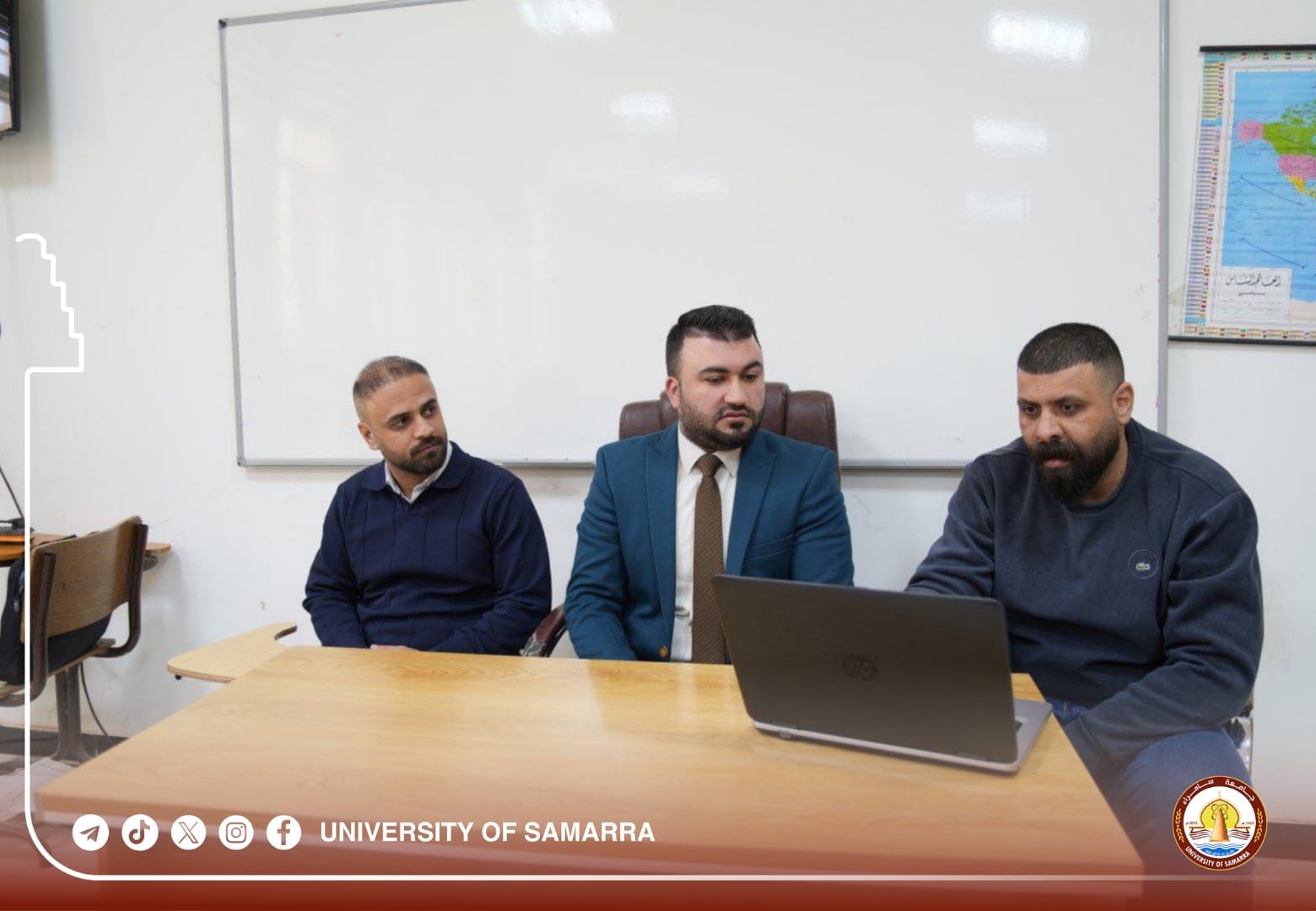
Dr. Noor Al-Deen Faisal Ibrahim explained, at the beginning of the seminar, the modern transformations in digital cartography, pointing out that open maps represent a model based on community participation in the production of geographical data.
Assist. Lect. Bakr Ahmed Abdul Majeed explained the technical foundations of open maps, clarifying their reliance on open data that is collected and updated continuously by volunteers using global positioning technologies and satellite imagery, which gives them high flexibility and speed of update compared to traditional maps.
In the same context, Mr. Junaid Tawfiq Khalf discussed the practical applications of open maps and their role in supporting urban planning, managing natural resources, and monitoring environmental changes, in addition to their importance in disaster management and enhancing emergency response.
In turn, the presenters highlighted the most prominent challenges facing open maps, including the variation in data quality and the lack of homogeneity in spatial coverage, as well as the difficulties of verifying the accuracy of information in some areas.
It is worth mentioning that open maps are considered a strategic tool supporting sustainable development, contributing to improving data quality and enhancing capabilities, especially when integrated into the development of institutional and technical frameworks to ensure their utilization with scientific efficiency.