The Department of Geography Discusses a Master\’s Thesis on Cartographic Modeling for Monitoring Environmental Changes
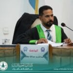
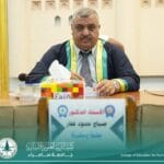
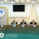
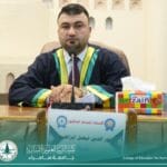
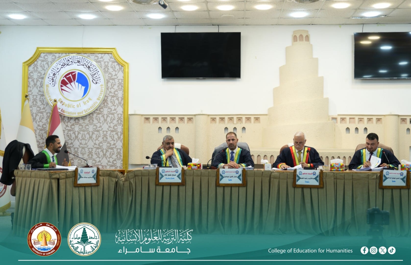
The Department of Geography at the College of Education for Humanities, University of Samarra, discussed a Master\’s thesis entitled \”Cartographic Modeling for Monitoring Environmental Changes in the Balad and Al-Dujail Districts Using Geographic Information Systems (GIS),\” submitted by the student Abdul Karim Abdullah Mutlak.
The thesis aimed to employ Geographic Information Systems (GIS) and remote sensing technologies to develop a cartographic model for monitoring environmental changes and analyzing their spatial and temporal dimensions in the Balad and Al-Dujail districts. The study relied on multi-temporal satellite imagery and digital spatial data to interpret patterns of land use and land cover change.
The findings revealed significant spatial and temporal variations in environmental change, including urban expansion at the expense of agricultural land, fluctuations in water bodies, and changes in vegetation density throughout the study period. The results confirmed the effectiveness of GIS and remote sensing technologies in monitoring environmental changes and supporting environmental planning and decision-making.
The researcher recommended adopting cartographic modeling and modern geospatial technologies for continuous environmental monitoring, as well as developing comprehensive spatial databases to strengthen environmental management and contribute to achieving the Sustainable Development Goals (SDGs).
Edited by: Hanan Mahmoud Abdul Rahim
#College_of_Education_for_Humanities
#University_of_Samarra