College of Education Holds Seminar on the Importance of Geomorphological Maps in Active Geology
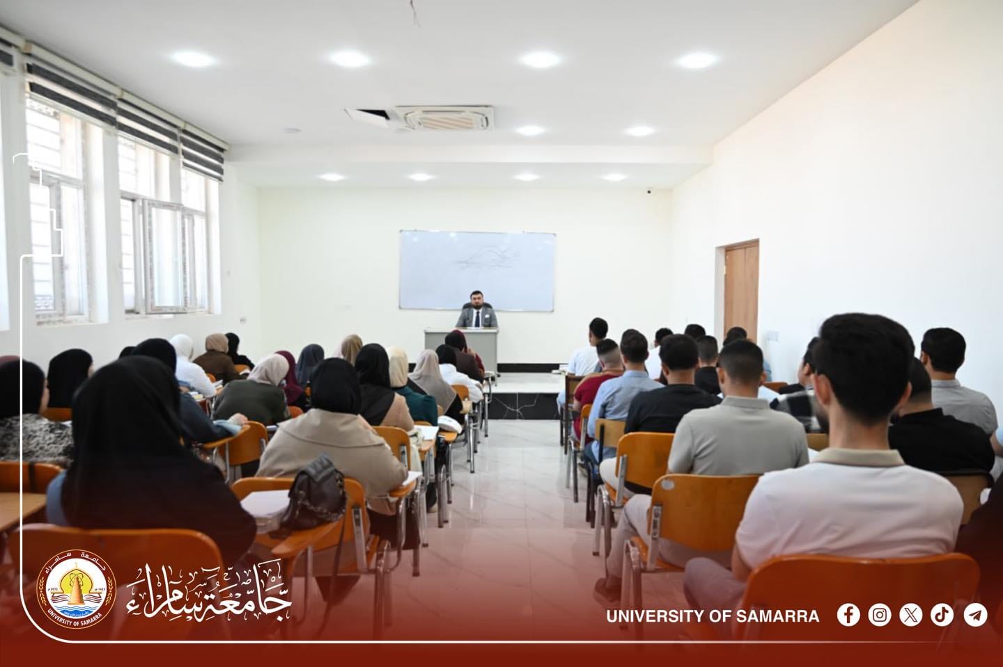
The College of Education at the University of Samarra organized a scientific seminar titled “Geomorphological Maps and Their Importance in the Study of Natural Landforms”, presented by Dr. Nour Al-Din Faisal Ibrahim, a faculty member in the Department of Geography at the college.
In his seminar, the speaker aimed to introduce geomorphological maps and their fundamental role in studying and analyzing the natural features of the Earth’s surface. He also discussed how these maps are used to understand various geomorphological processes such as erosion, deposition, and the resulting land formations.
Dr. Faisal explained the components of a geomorphological map and the symbols used to represent landforms, including mountains, plains, and plateaus. He also highlighted the significance of colors indicating different types of formations, in addition to the map scale, which helps determine geomorphological dimensions.
At the end of the seminar, the speaker emphasized the importance of this type of map, especially in environmental and active geological studies, and recommended their application in civil and agricultural engineering to determine soil types.